🚚 Free Worldwide Shipping on All Orders!Shop Now
$2.70
Original: $8.99
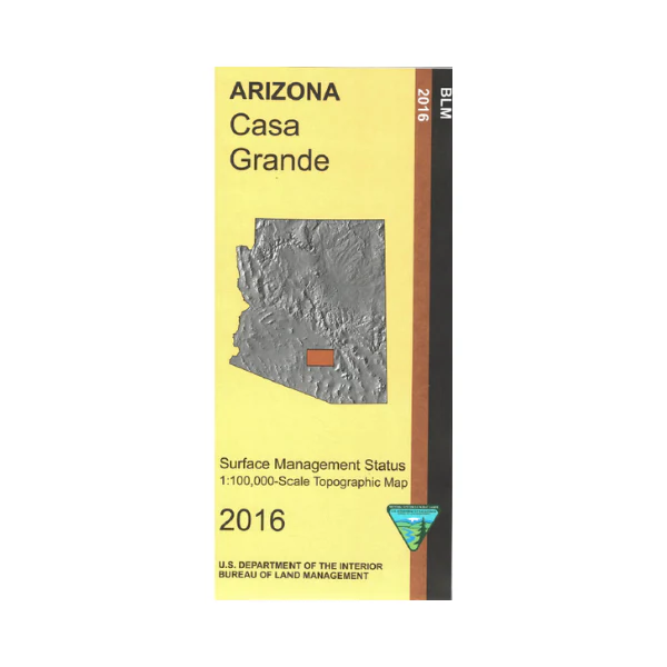
-70%Map: Alamo Lake AZ - AZ102S—
$8.99
$2.70The Story
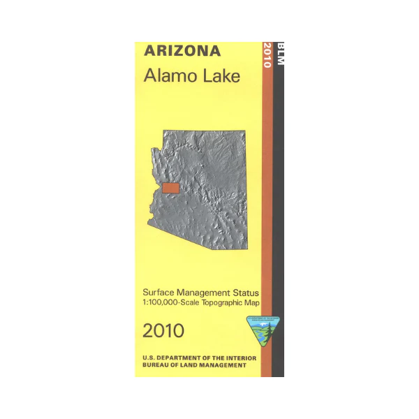
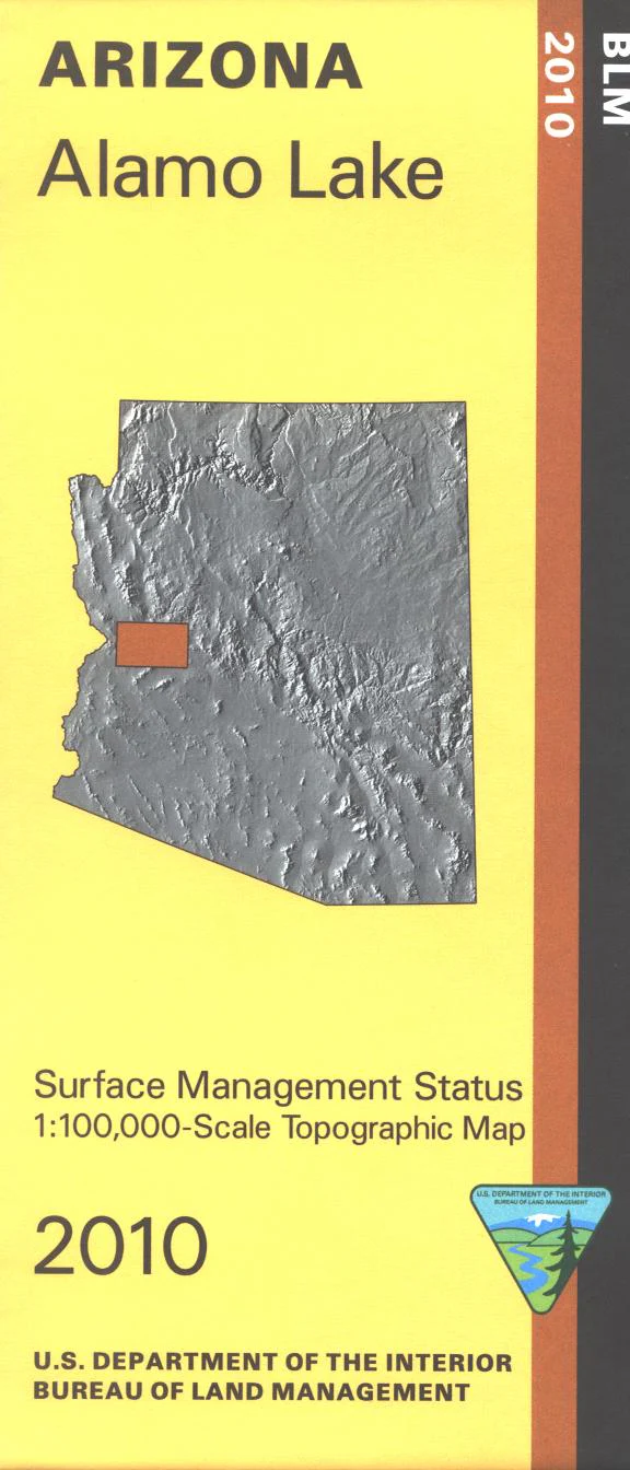
Differentiates between public and private land, and also among the various agencies who manage the public lands. Use for AZ Hunting Unit 16A, 44A,20C, and 18B. Wilderness areas include Aubrey Peak, Swan Sea, Rawhide Mountains, Arrastra Mountain, Tres Alamos, Harcuvar Mountains, and East Cactus Basin. Enjoy scenic driving, OHV roads and trails, hiking, camping, and fishing and boating at Alamo Lake State Park. Scale 1:100,000 (roughly 3/4 inch = 1 mile). 2010
Details & Craftsmanship
Every detail has been carefully considered to bring you the perfect product.
Description
Differentiates between public and private land, and also among the various agencies who manage the public lands. Use for AZ Hunting Unit 16A, 44A,20C, and 18B. Wilderness areas include Aubrey Peak, Swan Sea, Rawhide Mountains, Arrastra Mountain, Tres Alamos, Harcuvar Mountains, and East Cactus Basin. Enjoy scenic driving, OHV roads and trails, hiking, camping, and fishing and boating at Alamo Lake State Park. Scale 1:100,000 (roughly 3/4 inch = 1 mile). 2010