🚚 Free Worldwide Shipping on All Orders!Shop Now
$19.99
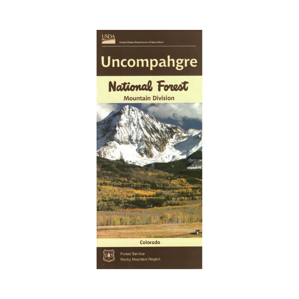
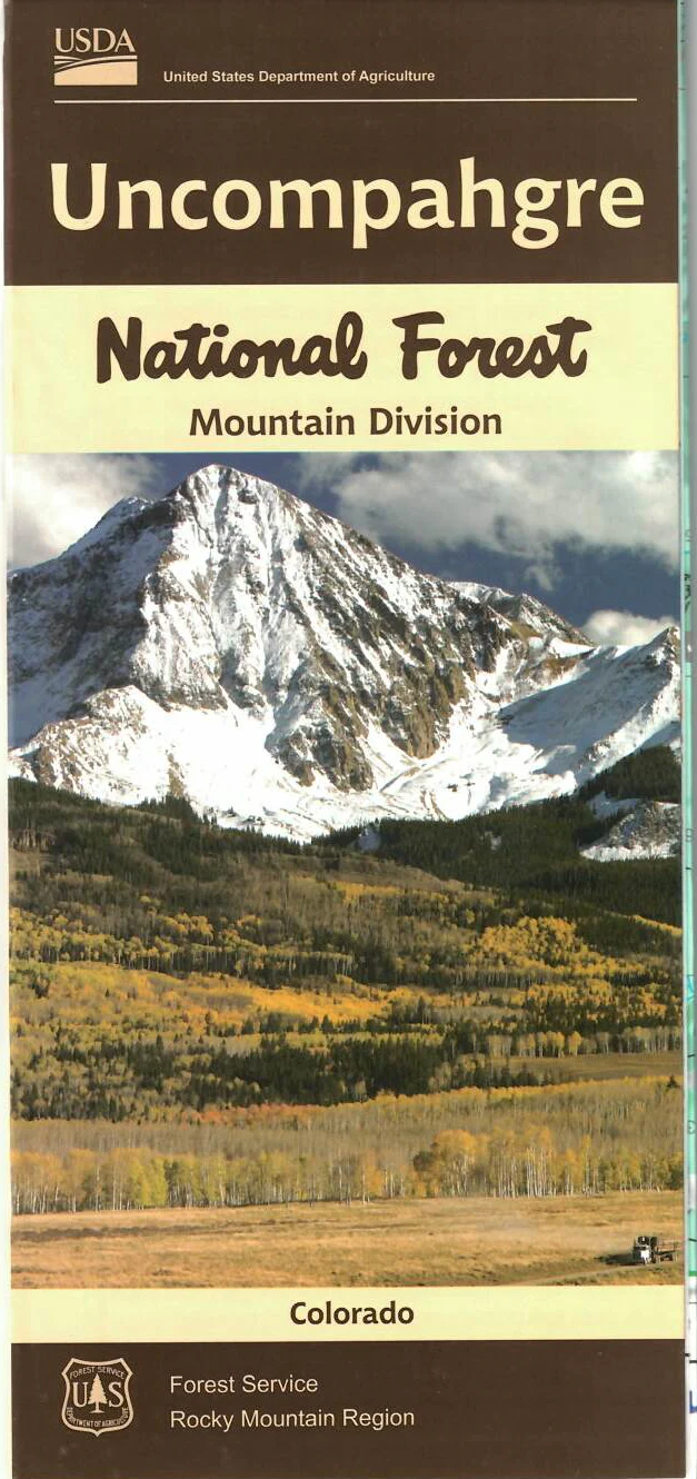
Map: Uncompahgre National Forest Mountain Division CO—
$19.99
The Story
Official Forest Service map @ 1/2" = 1 mile(no topographic detail), shows all lands, roads, trails, campgrounds and other recreation sites in the area from just south of Ridgeway to Ouray. East to Lake City, west to near Groundhog Reservoir and South to near Silverton. Scenic driving on all the highways, including to Lizard Head Pass on Hwy 145 south of Telluride. The map includes information about motorized off-road travel on back roads and trails (ATVs, motorcycles, jeeps, etc.) Map is useful for CO Hunting Units 65, 70, 71, and 74. It's on tear proof, water resistant paper updated in 2008.
Details & Craftsmanship
Every detail has been carefully considered to bring you the perfect product.
Description
Official Forest Service map @ 1/2" = 1 mile(no topographic detail), shows all lands, roads, trails, campgrounds and other recreation sites in the area from just south of Ridgeway to Ouray. East to Lake City, west to near Groundhog Reservoir and South to near Silverton. Scenic driving on all the highways, including to Lizard Head Pass on Hwy 145 south of Telluride. The map includes information about motorized off-road travel on back roads and trails (ATVs, motorcycles, jeeps, etc.) Map is useful for CO Hunting Units 65, 70, 71, and 74. It's on tear proof, water resistant paper updated in 2008.