Original: $10.00
-70%$10.00
$3.00The Story
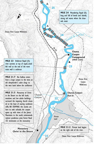
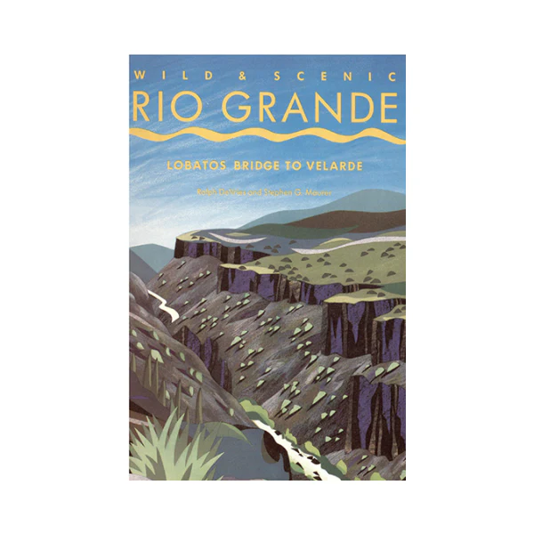
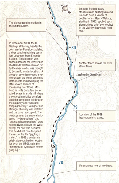
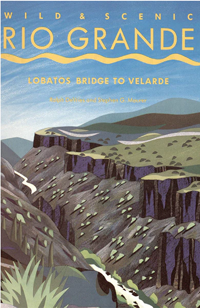
Mile-by-mile river map of the Rio Grande between Lobatos Bridge, just north of the Colorado state line, and Velarde New Mexico. This guide is the first comprehensive river guide for the Rio Grande. The maps offer detailed topographic information and tips for rafting or kayaking the Ute Mountain Run, the Upper Box, La Junta, the Lower Box, Orilla Verde, Racecourse, and the County Line Run.
1994.
This river guide was last revised in 1994. Please understand the river may be quite different on your boating trip today. Please use this guide as a reference for how the river was and enjoy the rich interpretive materials this guide has to offer.
For the latest Rio Grande River Guide we recommend Paul W. Bauer's The Rio Grande: A River Guide to the geology and landscapes of Northern New Mexico
Details & Craftsmanship
Every detail has been carefully considered to bring you the perfect product.
Details & Craftsmanship
Every detail has been carefully considered to bring you the perfect product.
Description
Mile-by-mile river map of the Rio Grande between Lobatos Bridge, just north of the Colorado state line, and Velarde New Mexico. This guide is the first comprehensive river guide for the Rio Grande. The maps offer detailed topographic information and tips for rafting or kayaking the Ute Mountain Run, the Upper Box, La Junta, the Lower Box, Orilla Verde, Racecourse, and the County Line Run.
1994.
This river guide was last revised in 1994. Please understand the river may be quite different on your boating trip today. Please use this guide as a reference for how the river was and enjoy the rich interpretive materials this guide has to offer.
For the latest Rio Grande River Guide we recommend Paul W. Bauer's The Rio Grande: A River Guide to the geology and landscapes of Northern New Mexico